WHERE: The Flatbush, Midwood, and Sheepshead Bay neighborhoods of Brooklyn
START: Kings Highway subway station (B and Q trains), fully accessible
FINISH: Flatbush Avenue - Brooklyn College subway station (2 and 5 trains), fully accessible
DISTANCE: 2.3 miles (3.7 kilometers)
Photographs by Michael Cairl except as noted. Map courtesy Apple Maps.
This walk, undertaken on an unseasonably warm March day, was a follow-on to the walk I described in the post on this page entitled “A Bit of Old Dutch Brooklyn.” My objective was to see two Colonial-era farmhouses on an easy walk. Both are private property and neither one was open to the public.
I started out at the Kings Highway station on the Brighton line (B and Q trains), then walked east on Kings Highway. The predecessors of today’s Brighton line enabled the transformation of this area in the years following World War I, from semi-rural to urban. The first few blocks of Kings Highway east of the subway are a bustling commercial area, with signs in English and Russian. A lot of people were out and about, everywhere I went. The thrifty shopper could do a lot worse than shop here for everything from fruits and vegetables to household items.
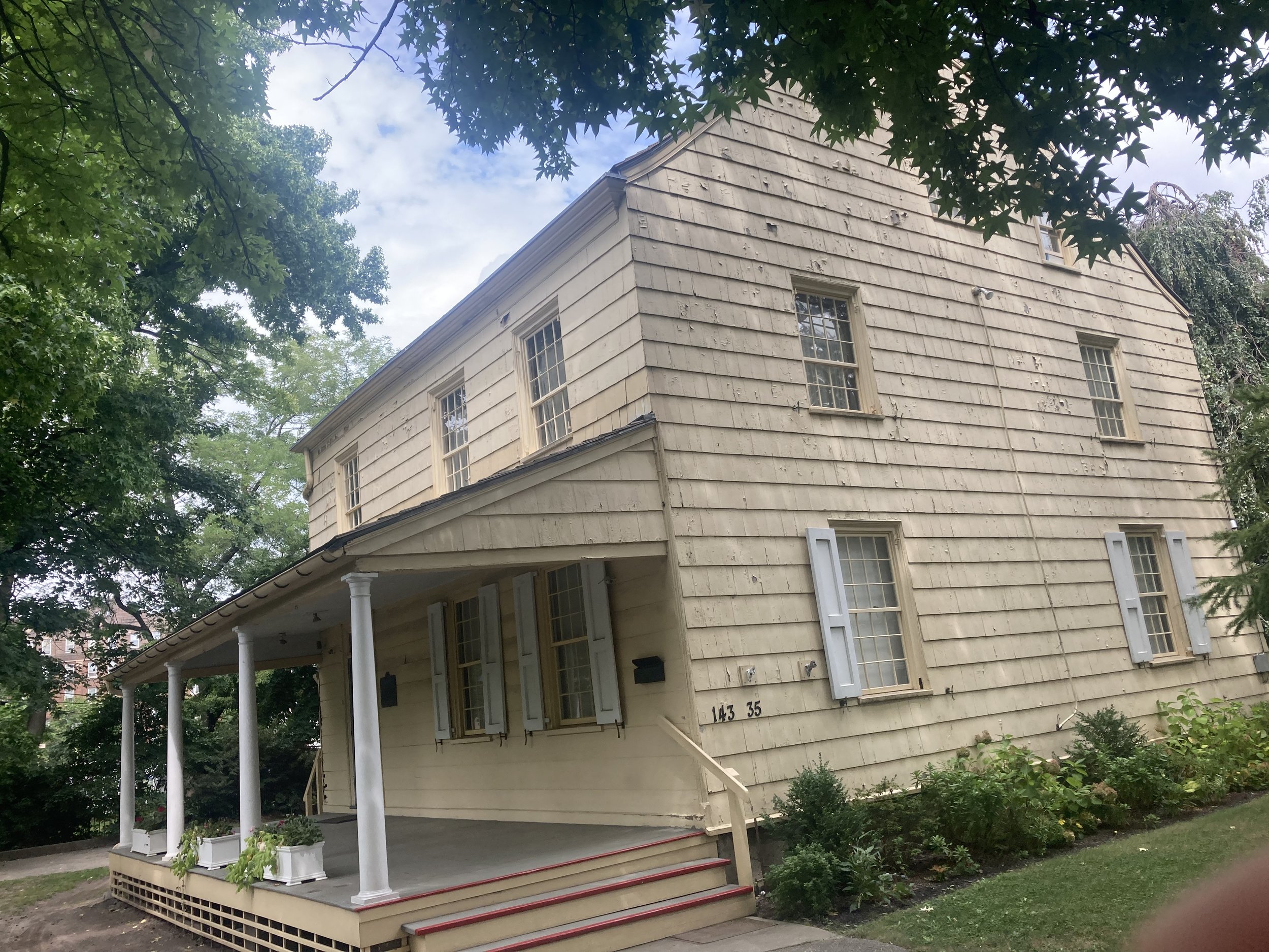
My first stop was the Wyckoff-Bennet Homestead. It was owned by a succession of families before being sold in 2021 by the heirs to the Mont estate. According to New York Historical (the erstwhile New-York Historical Society), “[o]riginally the house faced south, but around 1898 it was turned to face west to avoid having newly-opened East 22nd Street run through its kitchen wing. The slender porch columns supporting the sloping eaves were added then.'‘
A plaque outside the house reads:
This Dutch-American farmhouse is a quiet reminder that the Battle of Brooklyn, one of the biggest conflicts of the Revolutionary War, took place when Kings County was still mostly farm country. The county boasted fewer than 4,000 inhabitants, one third of whom were slaves working on land owned by families descended from 17th-century Dutch immigrants. Hendrick Wyckoff built the house in 1766. The site he chose lay along Kings Highway, then the county's main east-west artery. After the British invasion in 1776, Hessian soldiers were quartered here. Several of them left their mark by etching their names and rank on window panes among them Toepfer Captain Regt. De Ditrurth and "M. Bach Lieutenant V. Hessen Hanau Artillerie's". When the Battle of Brooklyn began on August 27, 1776, these men may well have taken part in the attack that drove American defenders from the Battle Pass, in what is now Prospect Park, and nearly destroyed the army under command of George Washington.
Wyckoff-Bennet Homestead, 1882, Image courtesy New York Historical by way of urbanarchive.org.
Sadly, the house appears to be in disrepair. I fear for its future, notwithstanding that it is listed on the National Register of Historic Places.
Wyckoff-Bennet Homestead, 2025.
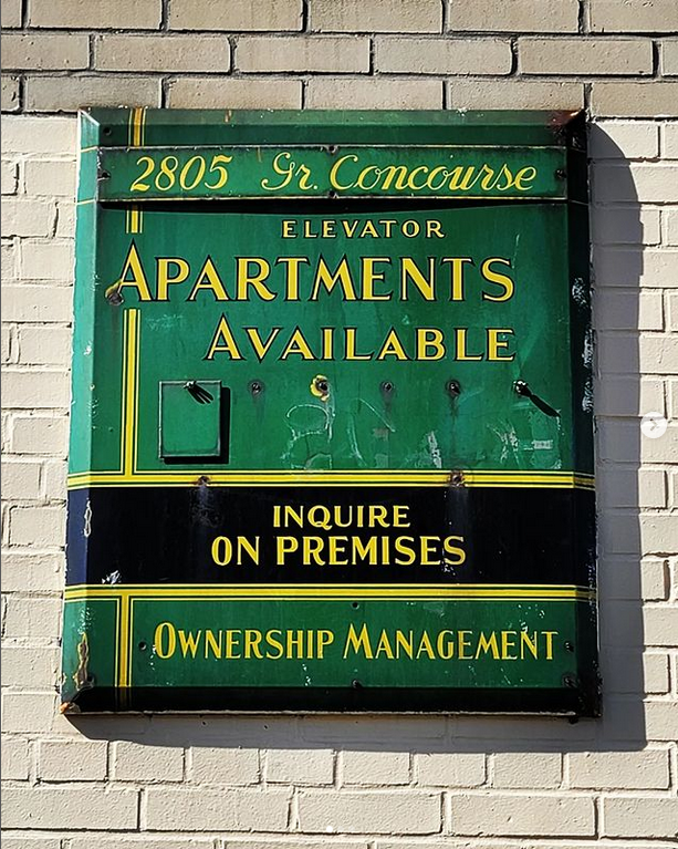
The Wyckoff-Bennet Homestead is where Kings Highway becomes much wider, with a through roadway and side roads. The apartment buildings on this stretch of Kings Highway give it a bit of the appearance of the Grand Concourse in the Bronx.
When crossing Kings Highway, do so only on a complete traffic signal interval; do not attempt to cross once the signal has already turned green.
I continued northeast on Kings Highway, past Bedford Avenue, past Nostrand Avenue, to Fraser Square. It’s actually a roundabout, but never mind. It’s just one more example of Brooklyn’s sometimes confusing street naming. When I would bike home from the Rockaways, my usual route took me past Fraser Square on Avenue M.
According to the NYC Parks website:
Fraser Square, once a barren traffic circle populated by weeds, is now a lush garden oasis and an urban retreat. Designed by Parks Landscape Architect Wim DeRonde with community input, the park features space for repose and small gatherings, as well as pathways leading to a circular plaza. Stop by and take in the wide variety of perennials, shrubs, and trees. … This oval oasis honors the memory of patrolman John Justin Fraser (1897-1934), whose life was cut short by a tragic act of violence.
From Fraser Square I walked north on East 34 Street. This is a residential street of pre-World War II houses, mostly detached. People were taking advantage of the mild weather and the Jewish Sabbath to sit on their porches or chat with the neighbors. Just north of Avenue J was the second farmhouse on my itinerary, the Joost van Nuyse House. From urbanarchive.org:
[Also k]nown as the Stoothoff-Duryea House, it may have been built by Joost Van Nuyse as early as the mid-18th century. Van Nuyse died in January 1792, and likely passed his property on to his son Jacobus, who died on Christmas of 1792 after falling into his well. The following year, the farm and house passed to the family [of] Wilhelmus Stoothoff (and was, in 1796, listed in "middling condition" at a value of $350). Until the 1920s, the house was located on Flatbush Avenue at Avenue J and East 35th Street.
Joost van Nuyse House, 1931. Image courtesy New York Public Library by way of urbanarchive.org.
Joost van Nuyse House, 2025.
From the Joost van Nuyse House I continued north on Flatbush Avenue to the subway station at “the Junction,” as the busy intersection of Flatbush and Nostrand Avenues and its surrounds is known.
This was an easy walk in a part of Brooklyn without hills. Crosswalks and sidewalks aren’t always even so walk mindfully. The walk encompassed plenty of history hiding in plain sight, and a dynamic streetscape in gloriously Never-Cool Brooklyn.


