Manhattan Bridge, and then some
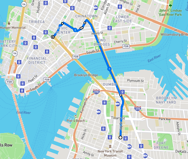
Route of this walk, reading from bottom to top. Map courtesy footpathmap.com.
WHERE: To, across, and from the Manhattan Bridge, going from Brooklyn to Manhattan.
START: Jay Street - Metrotech subway station (A, C, F, R trains), fully accessible
FINISH: Brooklyn Bridge - City Hall subway station (4, 5, 6 trains), fully accessible and connected to the Chambers Street subway station (J train), also fully accessible
DISTANCE: 2.45 miles (3.94 kilometers)
Photographs by Michael Cairl except as noted.
After falling and breaking my wrist five weeks ago, which resulted in surgery, I must admit I was feeling a bit gun-shy about going on walks. But I have been commuting to work normally, and I did a walk in upper Manhattan two Saturdays ago. On a picture-perfect day in New York, it was time for a longer walk, being mindful about each step. It’s possible to be mindful and still enjoy the walk. I’ve biked across the Manhattan Bridge many times and have taken the subway across the bridge many more times than that, but until today I had never walked across the bridge. This turned out to be a thoroughly enjoyable walk.
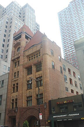
The walk began in Downtown Brooklyn at the Jay Street - Metrotech subway station. Metrotech is an office complex built mostly in the 1980s to replace blocks of buildings that were well past their prime. Metrotech also includes New York University’s engineering school, previously Polytechnic University and before that the Polytechnic Institute of Brooklyn. Metrotech is architecturally boring but walking north on Jay Street, just before Metrotech, is a gem: the old Brooklyn Fire Headquarters (1892), designed by the great Frank Freeman (1861 - 1949), a prolific Brooklyn-based architect.
Old Brooklyn Fire Headquarters. Photo courtesy Epicgenius.
Continue north on Jay Street past Metrotech. The area to the left (west) is the Brooklyn Civic Center, home to state and federal court houses and many government offices. Before World War II this area was criss-crossed by elevated train lines going from the Brooklyn Bridge to points south and east in Brooklyn.
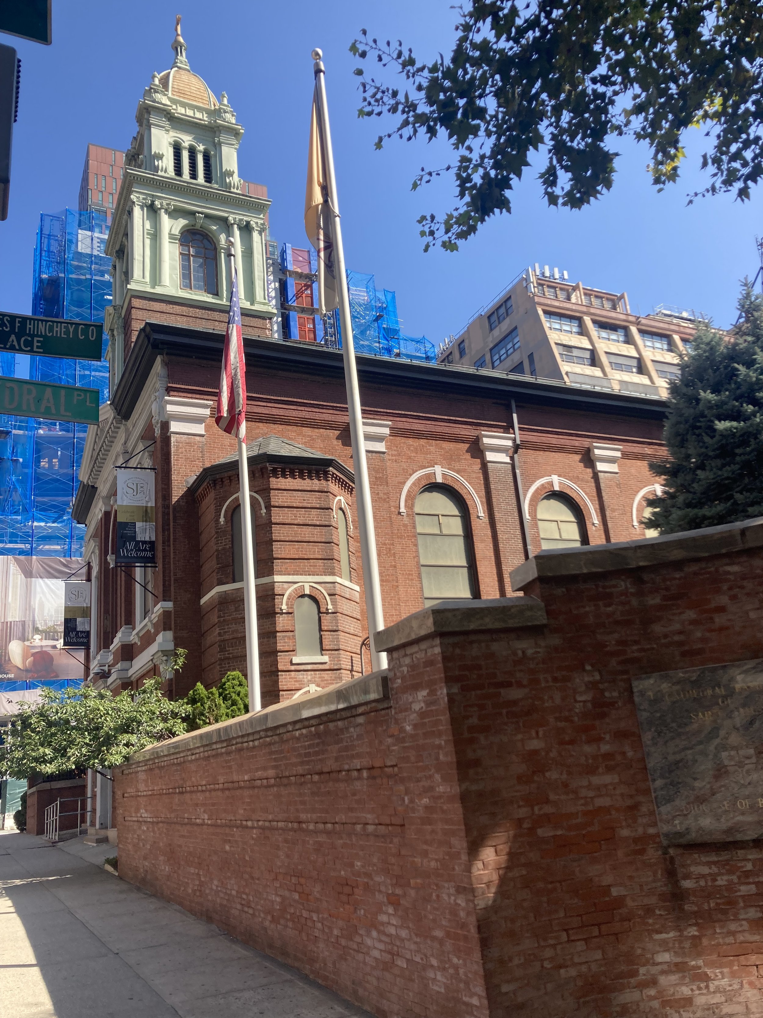
Cross busy Tillary Street and continue on Jay Street. Cross only on a complete traffic signal interval; do not attempt to cross once the signal has already turned green. On the right, past Tillary Street, is St. James Cathedral of the Roman Catholic Diocese of Brooklyn. This is by no means the largest Catholic church in Brooklyn but it is the oldest. Pope Paul VI stopped by in 1965 and Pope John Paul II did so in 1979.
St. James Cathedral.
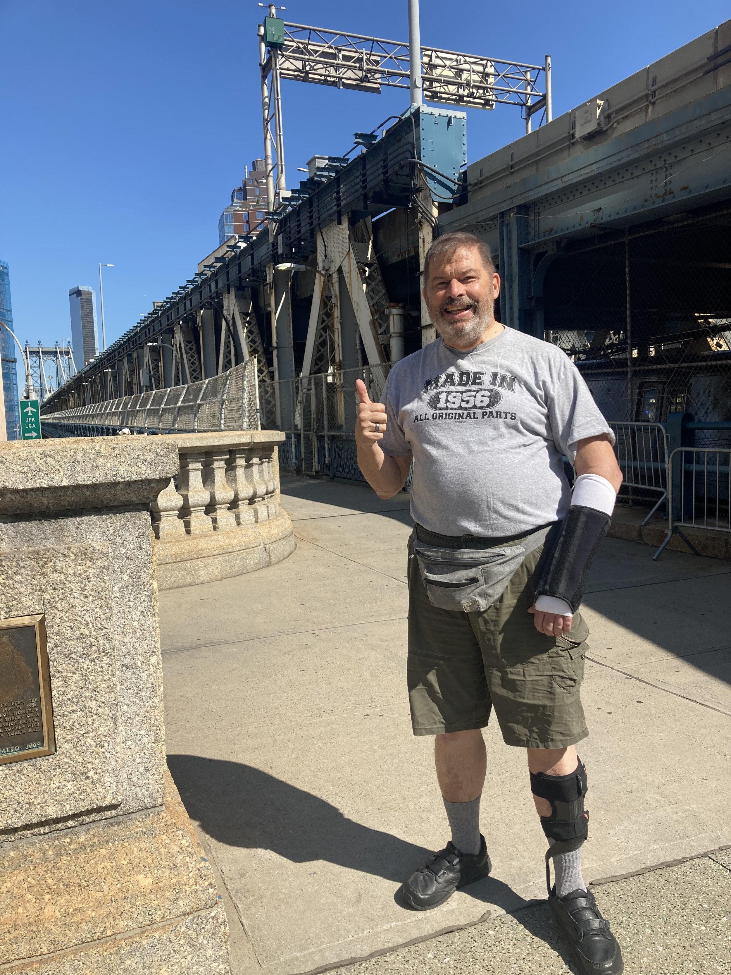
A bit farther north is the entrance to the Manhattan Bridge walkway, the beginning of which is a pleasant plaza.
Entrance to Manhattan Bridge footpath.
Photo of me taken in exchange for a photo I took of three women who had just walked across the bridge.
The Manhattan Bridge was built between 1901 and 1909 as the last of three bridges between Manhattan and Brooklyn. Unlike the Brooklyn Bridge with its stone towers and spidery suspension cables, or the Williamsburg Bridge that makes me wonder that it didn’t collapse of its own weight, the Manhattan Bridge is arguably the first modern suspension bridge, with its slender towers and a suspension system that was repeated in many bridges around the world. To be sure, it has its own problems. It is really two parallel suspension spans within a single structure. Each of these has two subway tracks above which is a two-lane roadway. The weight of the subway trains going over the bridge caused twisting in the parallel spans that led to extensive reconstruction starting in the 1980s. Between and supported by the parallel spans is a three-lane roadway.
A prominent figure in Tammany Hall, New York State Assembly Member George Washington Plunkitt, gave a series of interviews that were combined in the book Plunkitt of Tammany Hall, published in 1905. Plunkitt profited handsomely and unapologetically from the construction of the Manhattan Bridge. From the chapter entitled “Honest Graft:”
… supposin’ it’s a new bridge they’re goin’ to build. I get tipped off and I buy as much property as I can that has to be taken for approaches. I sell at my own price later on and drop some more money in the bank. Wouldn’t you? It’s just lookin’ ahead in Wall Street or in the coffee or cotton market. It’s honest graft, and I’m lookin’ for it every day in the year. I will tell you frankly that I’ve got a good lot of it, too.
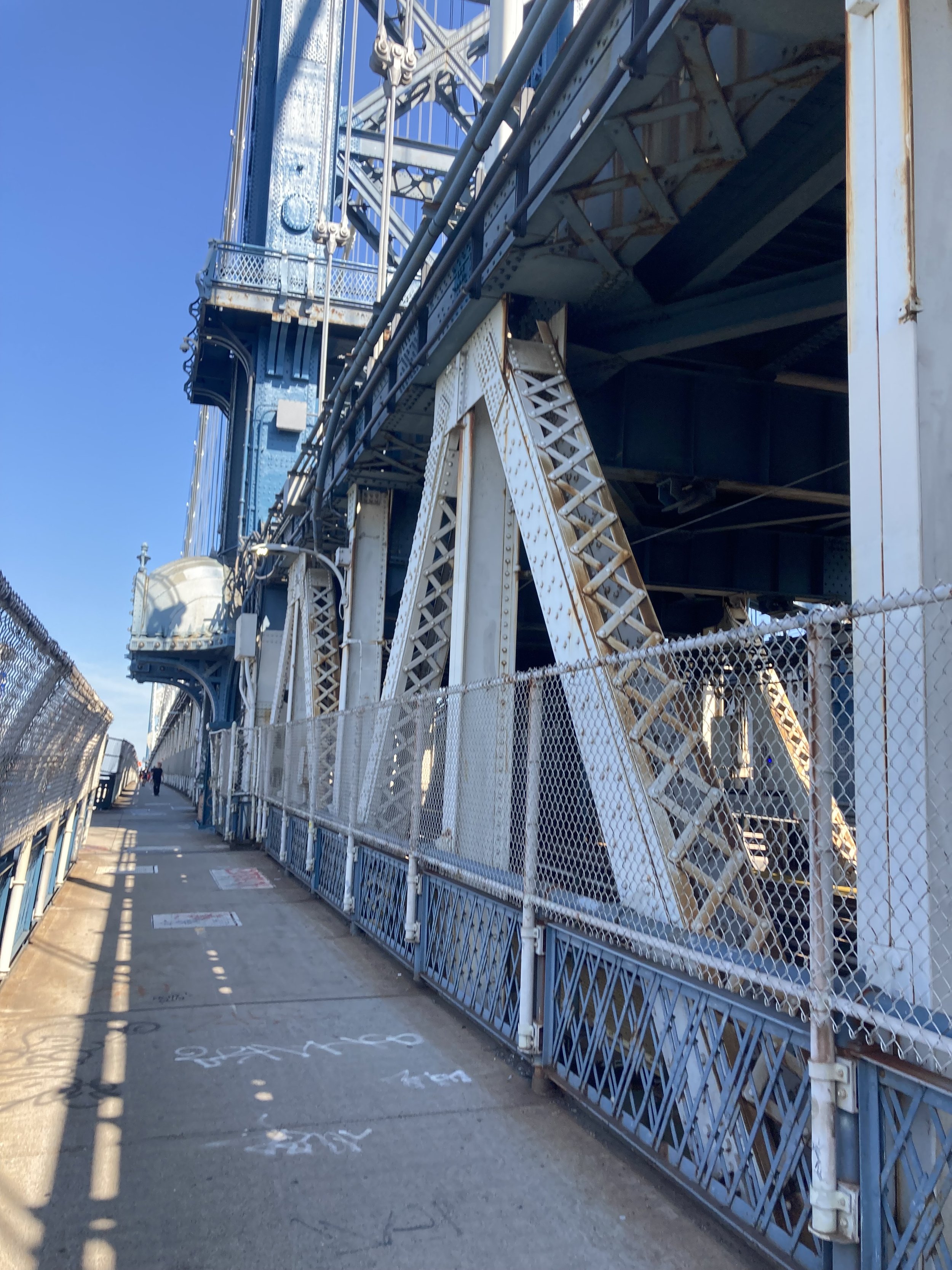
The Manhattan Bridge has a pedestrian path on the west side and a bicycle path on the east side. Both are well used. I recall that on the Friday after Superstorm Sandy in 2012, the city’s Department of Transportation counted over 30,000 bikes on the bridge that day. I was responsible for two of those trips.
Manhattan Bridge footpath, looking toward Manhattan.
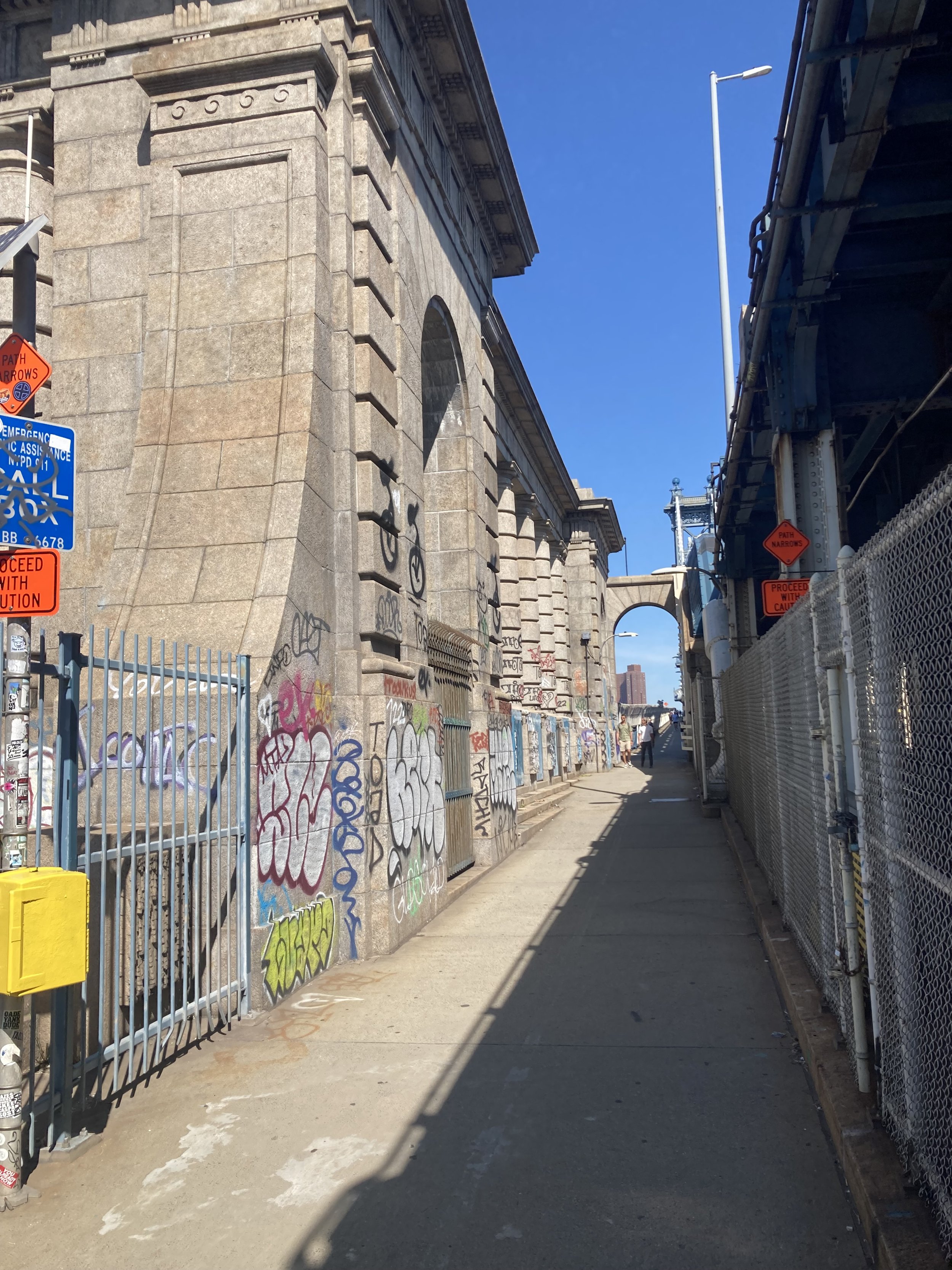
The architecture firm of Carrère and Hastings designed the New York Public Library’s main branch, many other buildings, and the Manhattan Bridge. Here is some of their design, marred by graffiti, at the Brooklyn anchorage of the bridge. The anchorages are where the main suspender cables are weighted down.
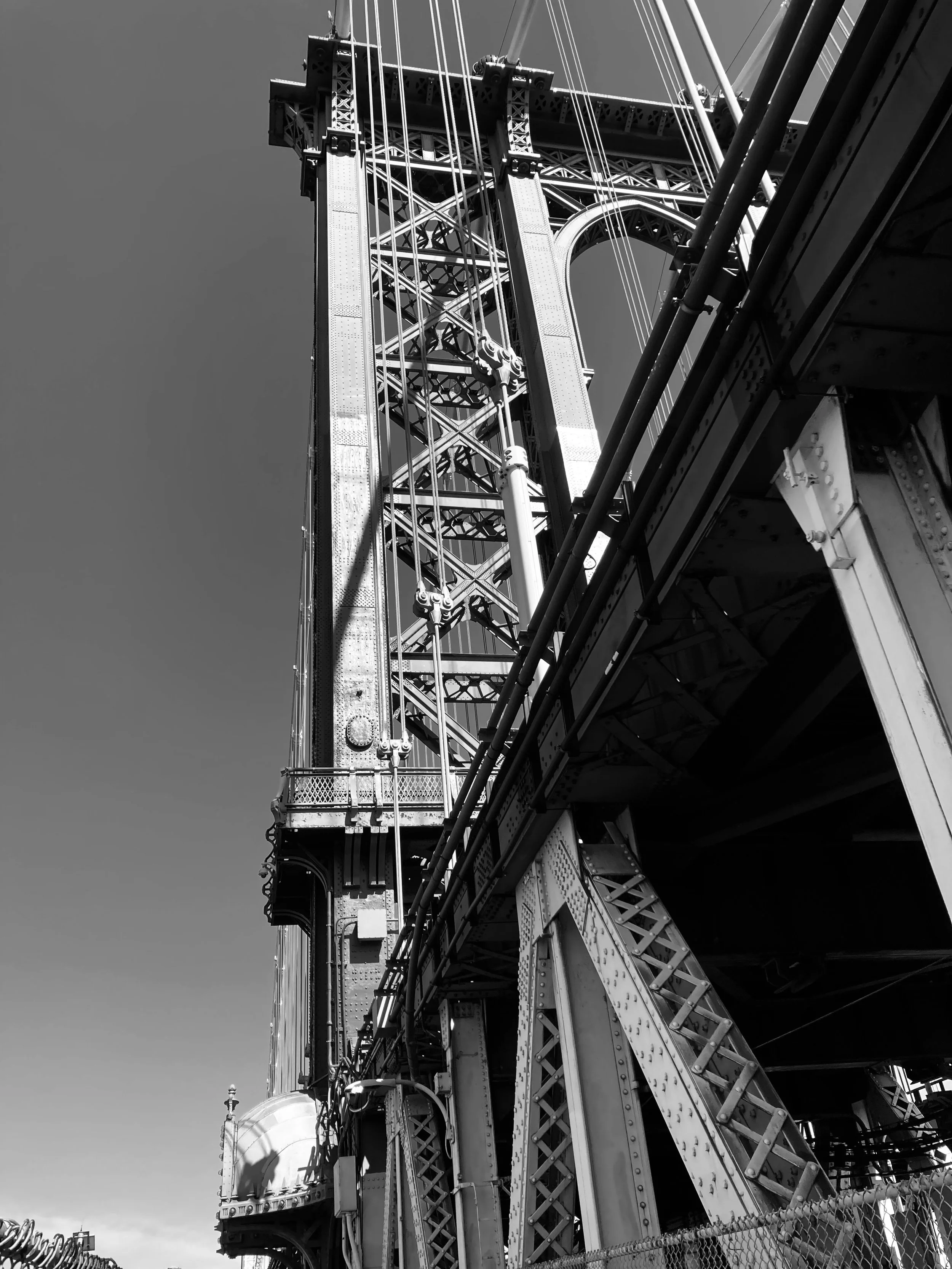
The Brooklyn tower of the Manhattan Bridge.
One of the great pleasures of not driving over the Manhattan Bridge is being able to take in the view, like this one.
View of the Brooklyn Bridge and Lower Manhattan.
Going into Manhattan the bridge goes over Chinatown and then into it.
East Broadway from the bridge.
The pedestrian path ends on the east side of the Bowery. Continue to Division Street, cross the Bowery, and turn left to cross Doyers Street. Doyers is a tiny, L-shaped street in the original part of Chinatown. Each of the city’s Chinatowns - the one in Manhattan and Chinatowns in Brooklyn and Queens - is worth a stroll and a blog post, and they will come.
Continue on the Bowery to where it becomes Chatham Square, crossing Mott Street and turning right onto Worth Street. Chatham Square is named for William Pitt, first Earl of Chatham and Prime Minister of Great Britain before the American Revolution. Chatham Square was once a major station on the Second and Third Avenue elevated lines. It and the area just to the west was a notorious 19th century slum called the Five Points, a focal point of the draft riots in 1863 and the setting for Jacob Riis’ How the Other Half Lives, published in 1890. This early example of photojournalism documented the squalid living conditions in the slums in the 1880s. One of the worst parts of the Five Points, known as the Bend, was later razed to make way for Columbus Park.
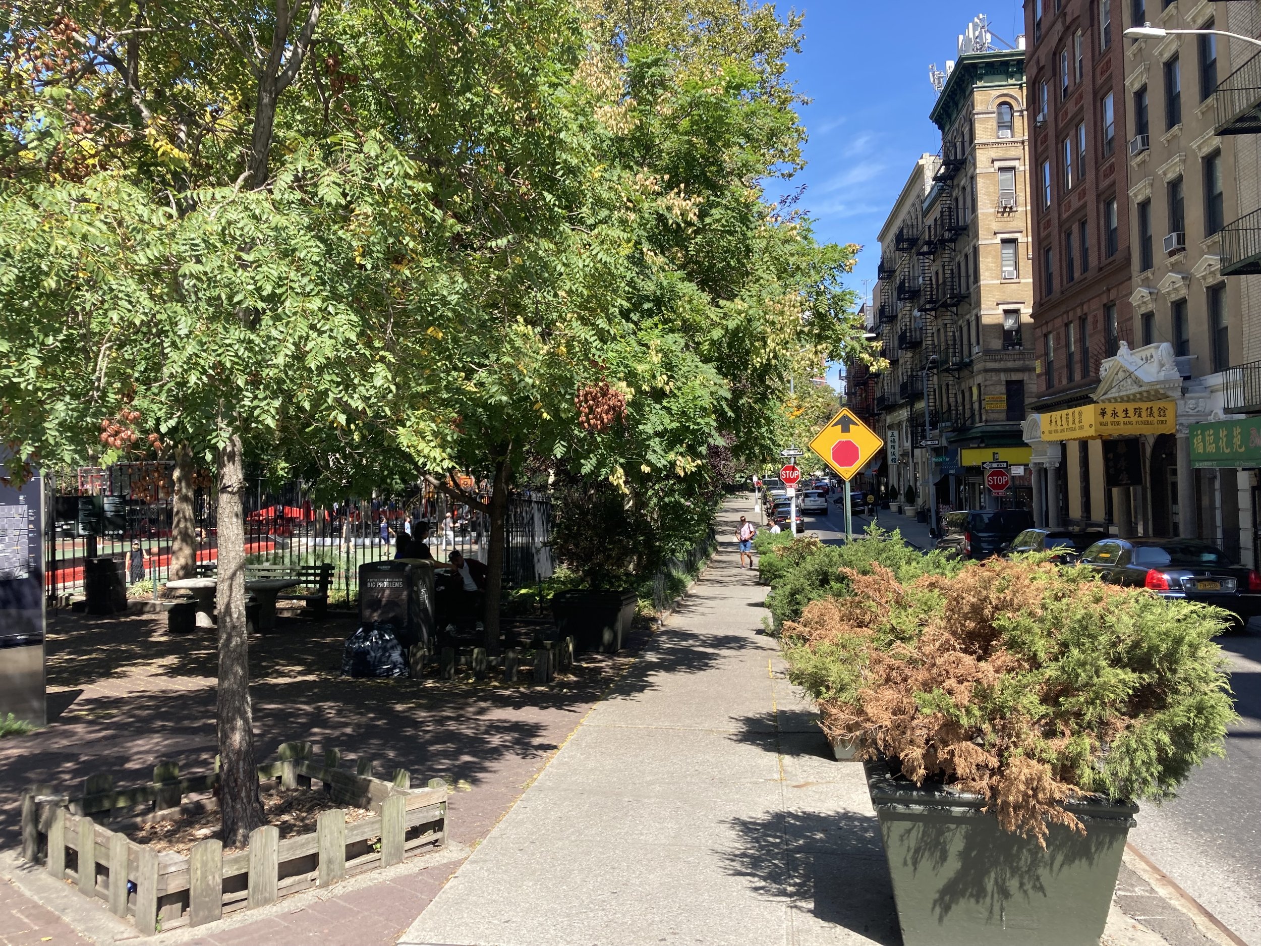
Columbus Park and Mulberry Street.
Across from Columbus Park on Mulberry Street are longtime Chinese funeral homes. I once got to see a traditional Chinatown funeral procession, I’m sure for a local big shot. The funeral party processed slowly on foot along Mulberry Street, led by middle-aged and elderly Italian-American men playing wheezy-sounding wind instruments. Nobody seems to know how this tradition came to be, it just did. Perhaps it is explained by the proximity of Chinatown to Little Italy, especially as Little Italy has been disappearing.
I continued west on Worth Street to Foley Square and turned left. Foley Square is named for Tammany Hall district leader and saloon keeper “Big Tom” Foley (1852 - 1925). Foley Square is Manhattan’s civic center, with state and federal court houses on the east side, the Federal Building and the U.S. Court of International Trade on the west side, a state office building on the northeast side, the Manhattan Criminal Court to the north of it, and the Municipal Building at the south end. Foley Square and the Five Points sit on the site of the Collect Pond, a source of fresh water for the city in the 18th century. From the website of the Lower East Side Tenement Museum:
Residents would spend time by the pond, picnicking in the summers and ice skating in the winter. This idyllic scene did not last long though, as the rise of industry started to affect New York City’s natural resource; the neighboring slaughterhouses, tanneries, breweries and other local shops began dumping their waste into Collect Pond. By 1800, the Pond was completely polluted, spreading cholera and other diseases to the city’s residents.
A canal was dug to drain the Collect Pond; it was later filled in and is now Canal Street. The African Burial Ground National Monument is just west on Duane Street; it is discussed in the post on this page entitled “City Hall Loop.” I walked through Foley Square, crossed to the west side of Centre Street, and continued to the end of the walk at the Brooklyn Bridge - City Hall subway station.
This was a beautiful day for a good walk. The walk across the Manhattan Bridge is very pleasant and offers picture-postcard views of Manhattan and New York Harbor. And the walk is 100 percent accessible.
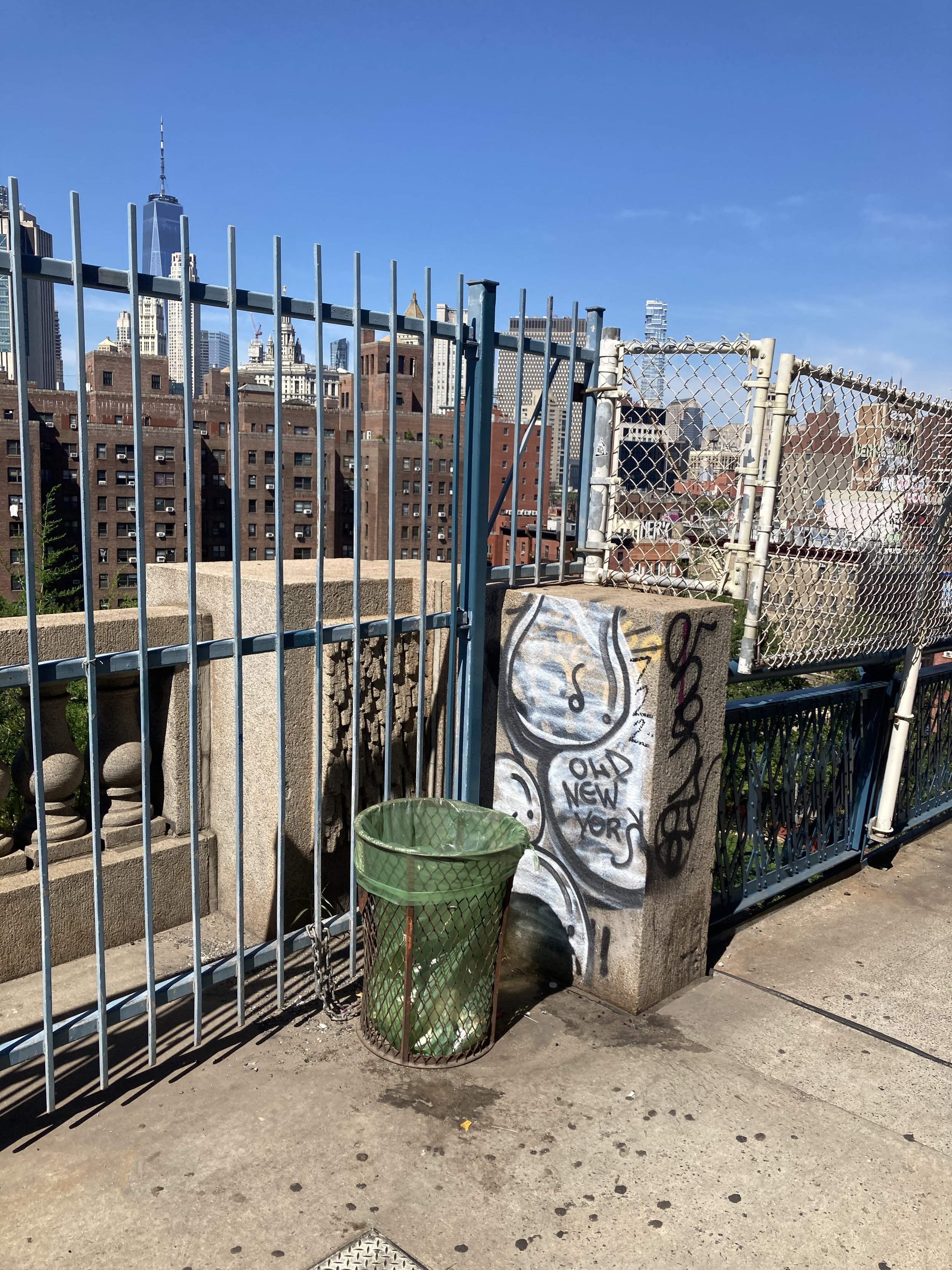
Some Manhattan Bridge graffiti, from 2009 (top) and 2023.
