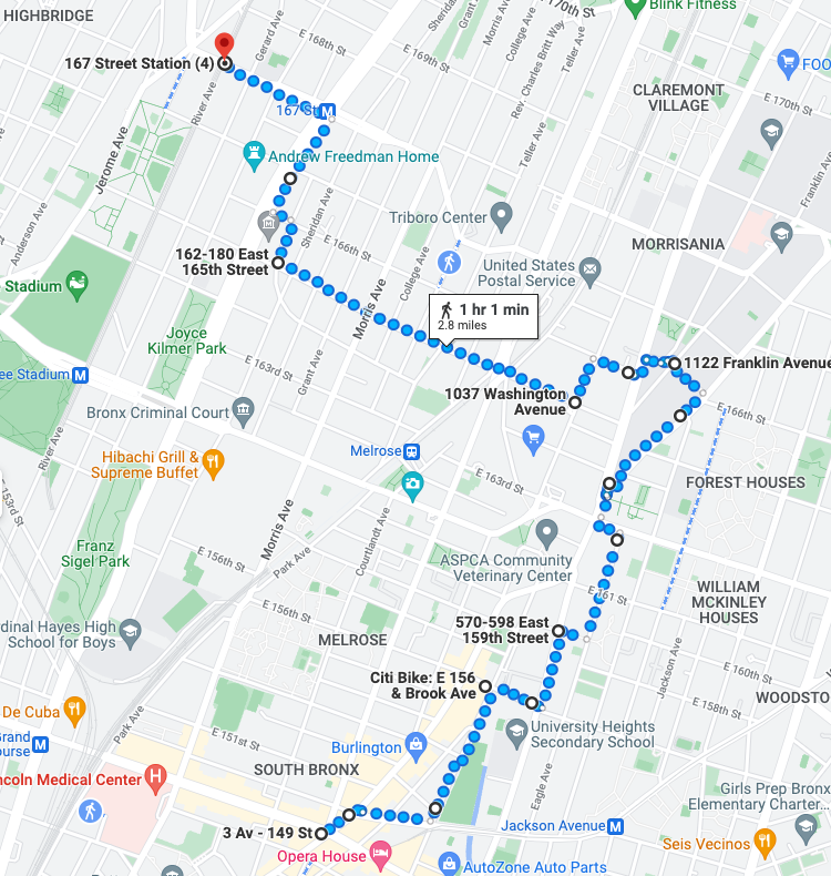
Route of this walk, courtesy Google Maps. The route reads from bottom to top.
WHERE: Slope street at East 159 Street; stair streets at Boston Road/3 Avenue, East 164 Street, East 165 Street, East 166 Street, and Carroll Place, Bronx
START: 3 Avenue - 149 Street subway station (2 and 5 trains, fully accessible)
FINISH: 167 Street subway station (4 train)
DISTANCE: 2.8 miles (4.5 kilometers)
Photographs by Michael Cairl except as noted.
Profile of this walk, courtesy Google Maps. The route reads from left to right.
On this walk I climbed a number of stair streets in the southern part of the Bronx. I refrain from using the term “South Bronx” because of its association with extreme urban decay. To be sure, this is part of the poorest Congressional district in the United States, but people live their lives, there is vitality there, and history abounds.
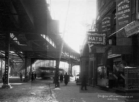
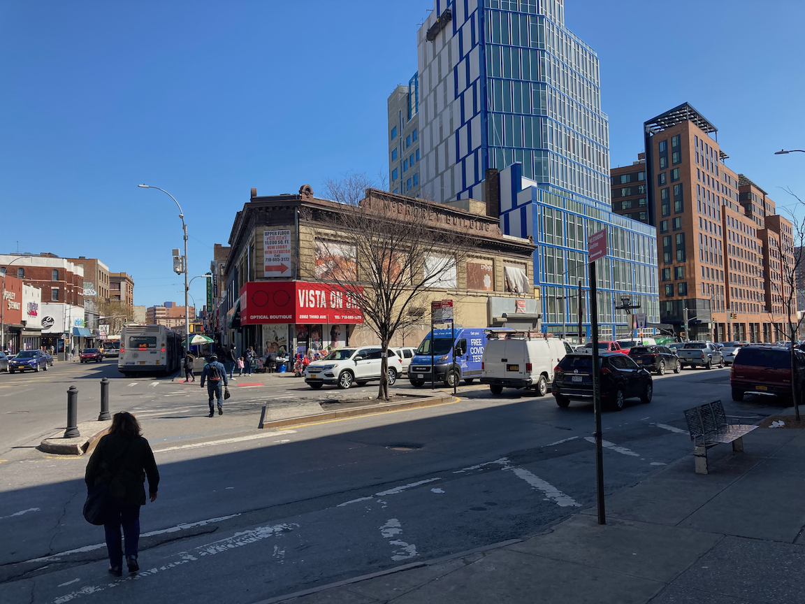
My walk started at “the Hub,” East 149 Street and 3 Avenue, where several major streets converge. It is a longtime transit hub and a major commercial area. For generations the Third Avenue Elevated and two spur lines dominated the area. By the mid-1970s all were gone except for the elevated subway over Westchester Avenue, the 2 and 5 trains.
Then and now: 3 Avenue and Westchester Avenue, 1907 (collection Charles A. Warren) and 2022.
Via Verde.
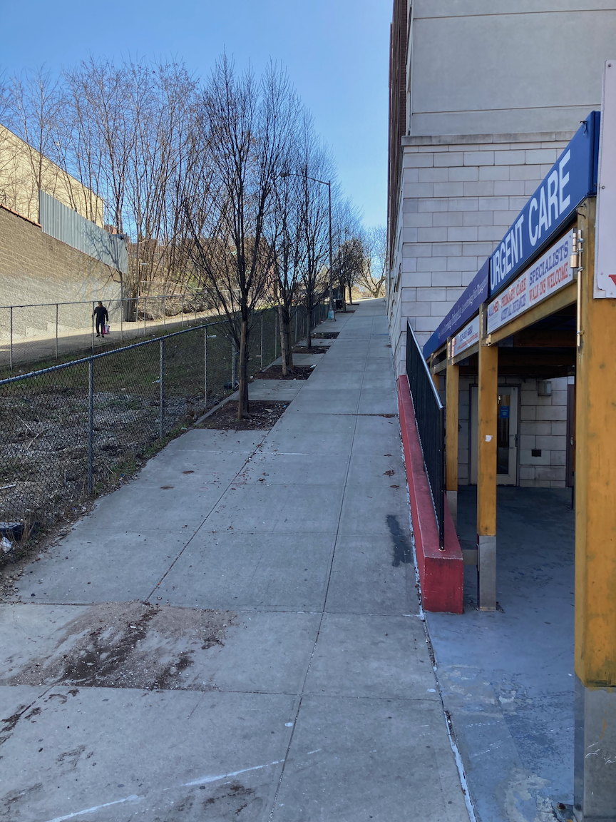
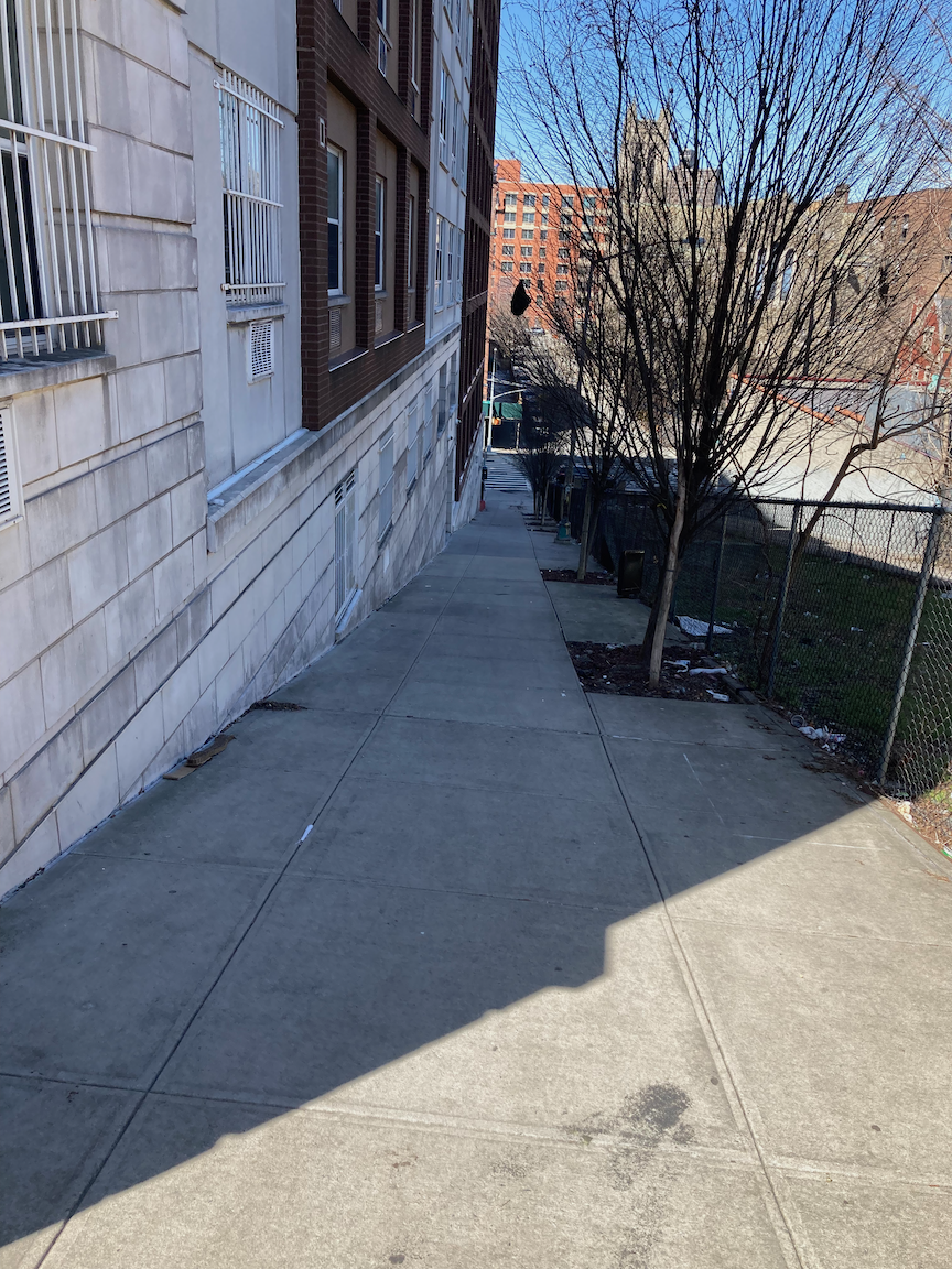
There is a lot of new commercial and residential construction in and around the Hub. One interesting example is the Via Verde apartments at East 156 Street and Brook Avenue, which opened in 2010. This project won awards for sustainable design. For more information go to https://www.dattner.com/projects/view/via-verde-the-green-way/. A few blocks on, the day’s hills and stairs started at East 159 Street and St. Ann’s Avenue. (It’s not just the west Bronx that is full of hills!) Although this steep slope up to Eagle Avenue has no stairs, and would be more easily negotiable if it did, it has no cars, either, so is similar to a stair street. Slowly but surely I made it to the top.
About Eagle Avenue from the AIA Guide to New York City, Fifth Edition (Oxford University Press, 2010):
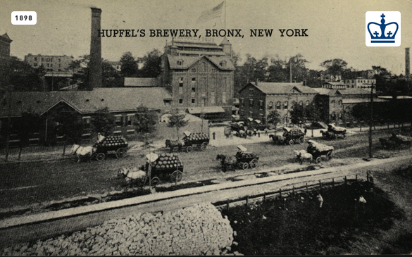
As the South Bronx was a German neighborhood in the 19th century, there was a continuing demand for lager beer. Before the advent of refrigeration, the brewing of lager (from the German liegen, to lie still) required a chilled place to age. Caves cut into hillsides made it possible to pack the beer kegs with naturally cut ice and then to seal the openings temporarily until the beer had aged. No surprise then that breweries backed up to the Eagle Avenue escarpment (it is so steep that Eagle Avenue negotiates East 161st Street over a high bridge). The caves are used today for less romantic manufacturing purposes. During Prohibition, both caves and breweries were converted into indoor mushroom farms. Here stood the former Hupfel Brewery, St. Ann's to Eagle Aves., bet. E.159th and E.161st Sts. Both ca. 1875. And the former Eagle Brewery to its south.
The 159 Street slope, looking up from St. Ann’s Avenue and down from Eagle Avenue.
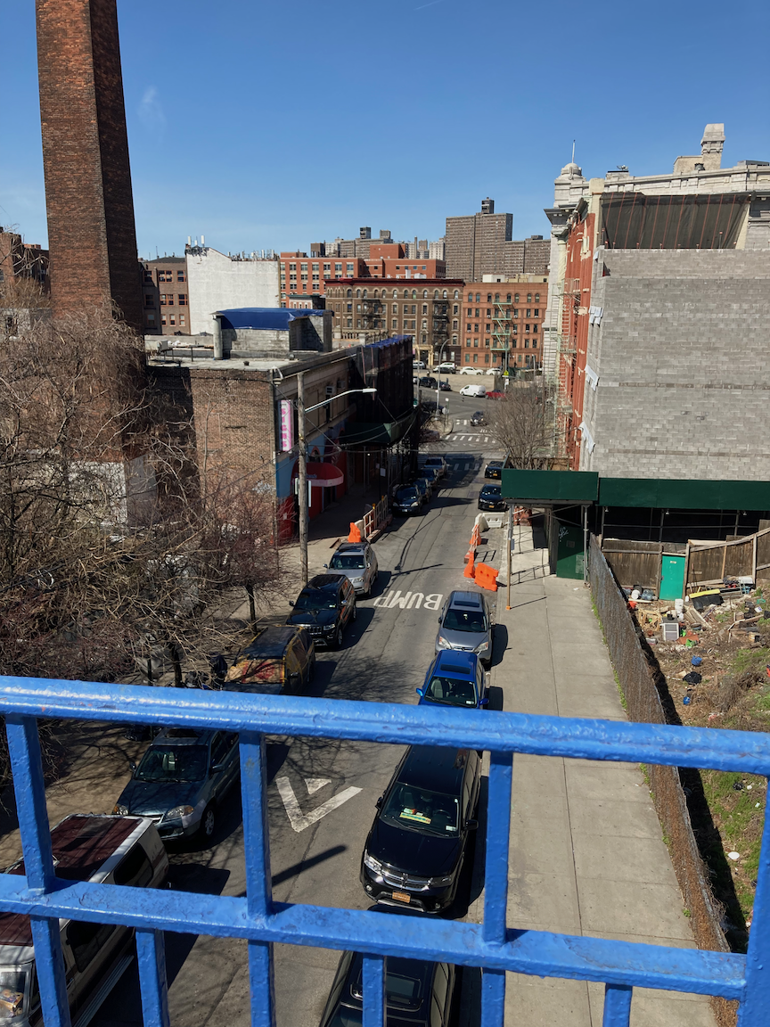
Then and now: Hupfel’s Brewery, 1898 (from the Columbia University Libraries via urbanarchive.org) and 2022 (note the chimney in both images). Note the carriages with kegs of beer in the 1898 image.
I walked north on Eagle Avenue over the bridge at East 161 Street and then west on East 163 Street, down a steep hill to 3 Avenue, where I turned north.
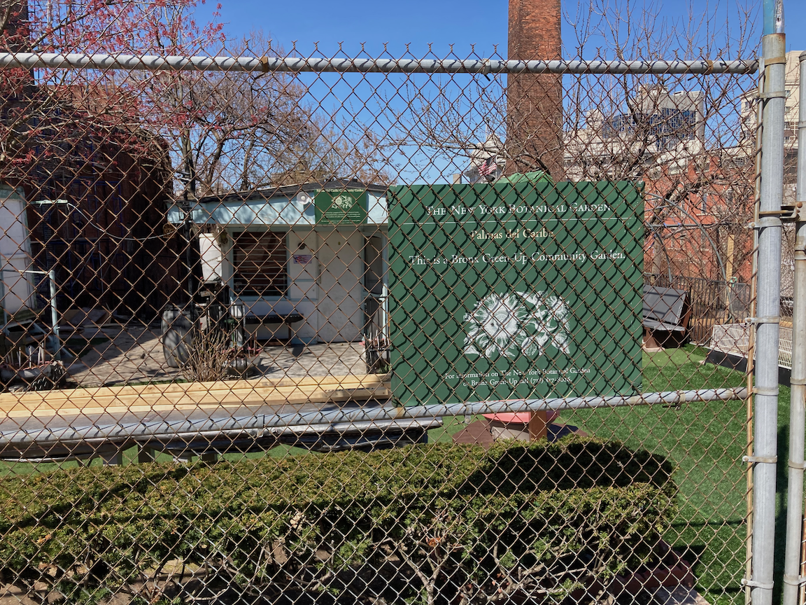
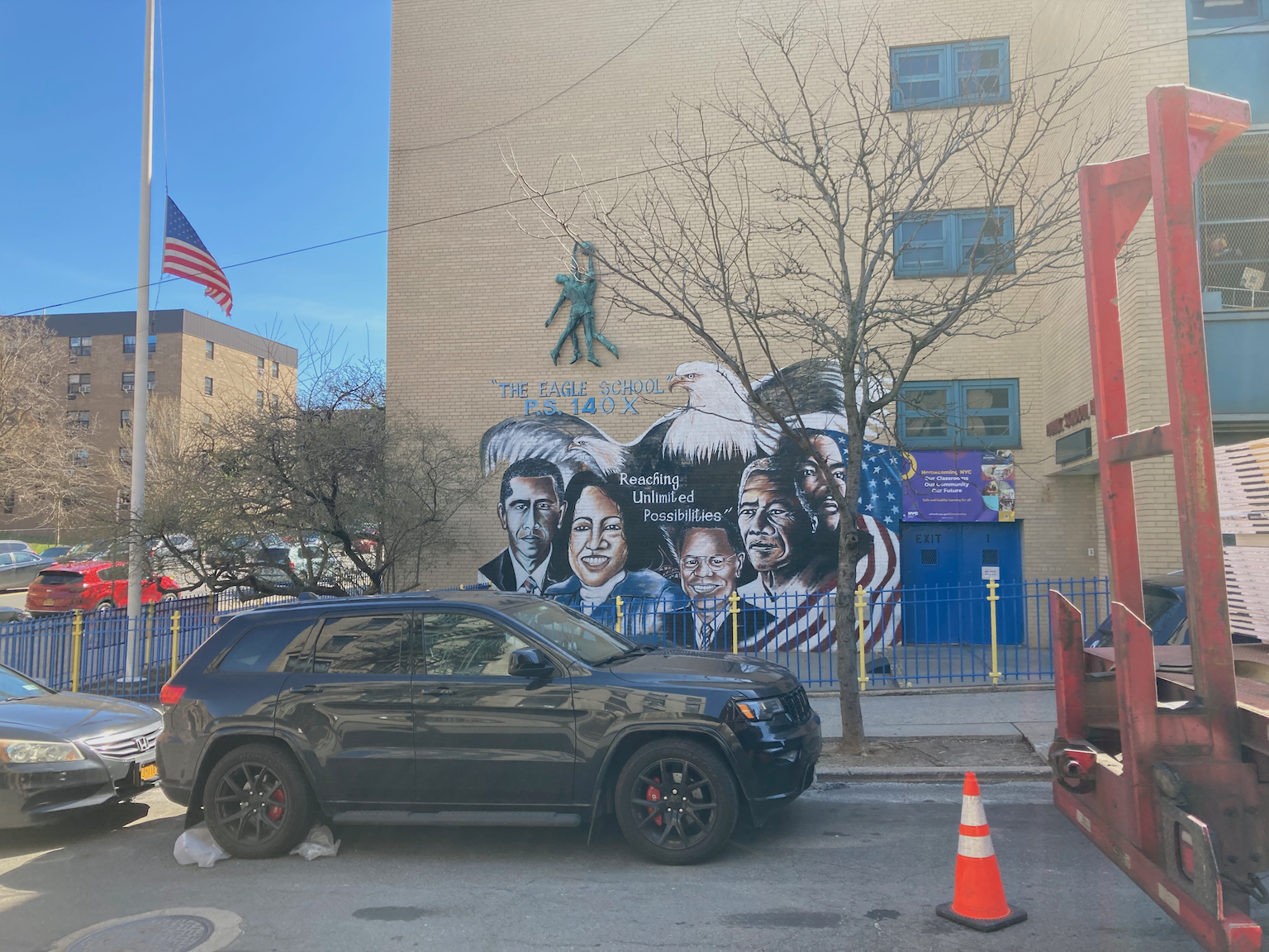
Community garden on Eagle Avenue (ruins of Hupfel’s Brewery in the background), facade of Public School 140.
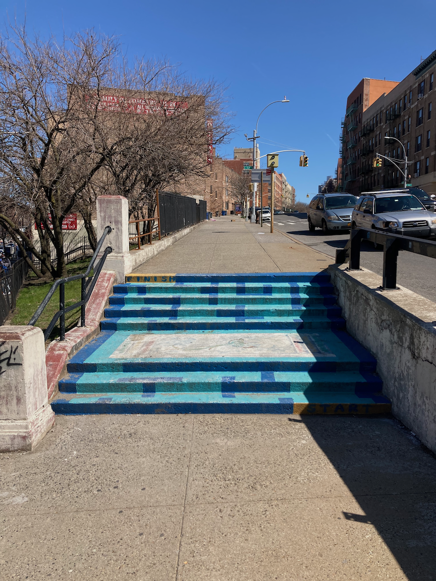
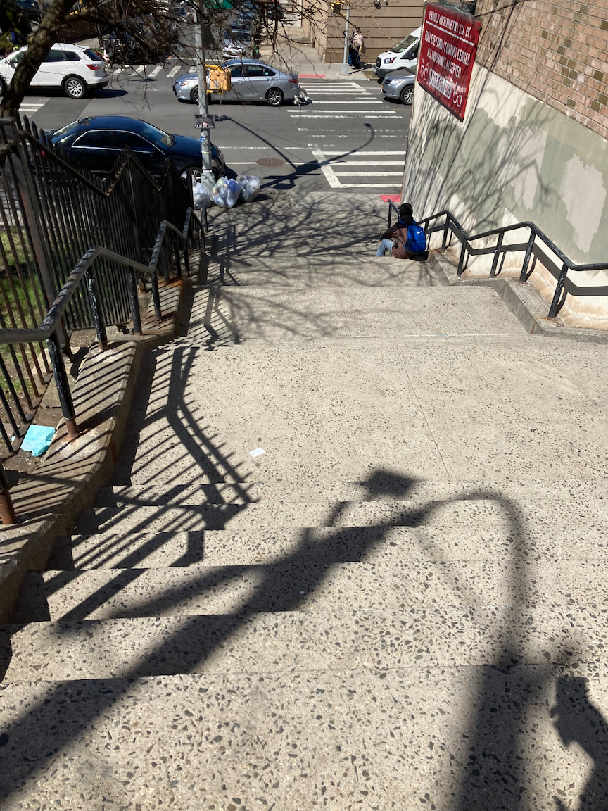
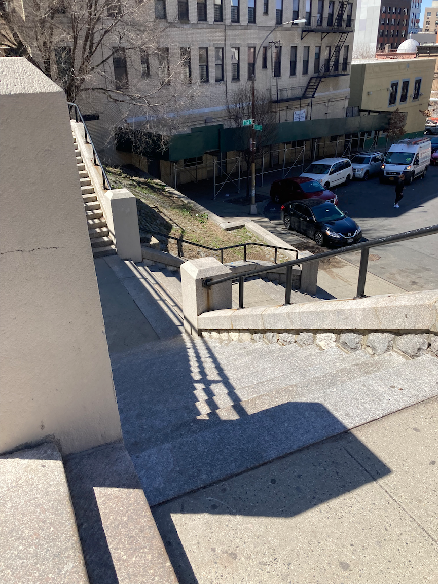
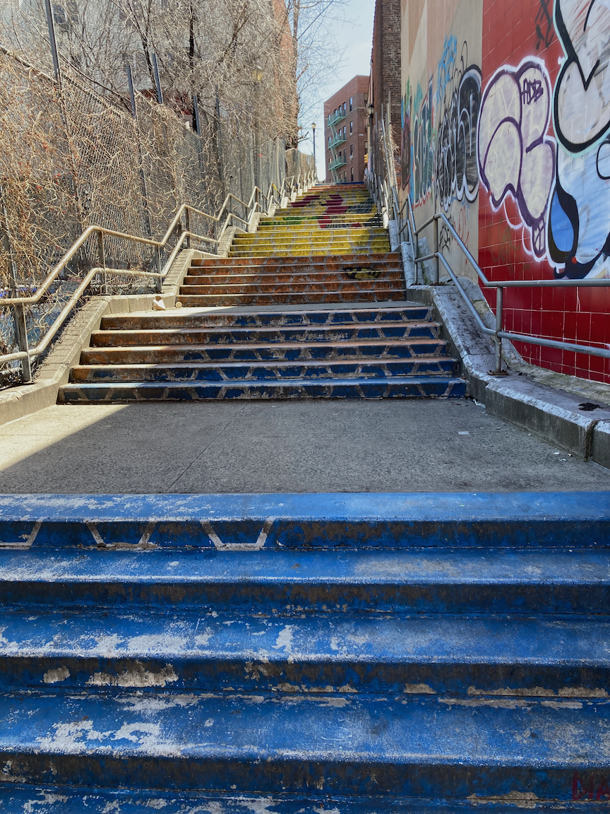
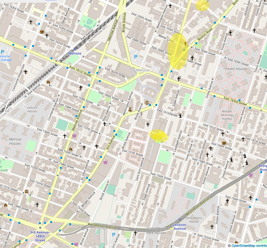
A block to the north, Boston Road - the old Boston Post Road from Colonial times -, diverges from 3 Avenue up a hill. In two blocks there are three stair streets: at 3 Avenue and Boston Road (8 steps up), on East 164 Street between Boston Road and 3 Avenue (25 steps down), and on East 165 Street from 3 Avenue to Boston Road (63 steps up). From there I continued north on Boston Road and then west on East 166 Street to the next stairs, 36 steps down from Franklin Avenue toward 3 Avenue. All these stairs are in good condition.
Clockwise from top left: Boston Road stairs, East 164 Street stairs (down from Boston Road), East 165 Street stairs (up from 3 Avenue), East 166 Street stairs (down from Franklin Avenue).
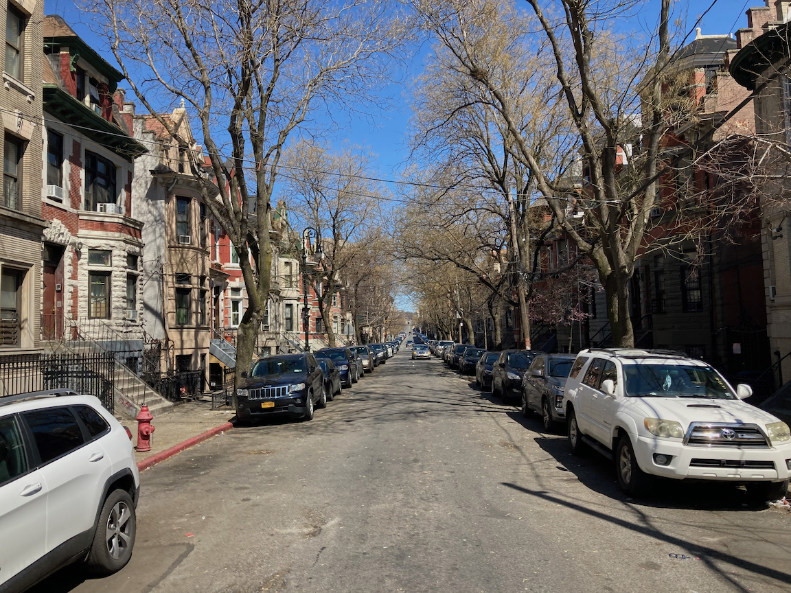
From the bottom of the East 166 Street stairs I zigzagged to East 165 Street and the walk west toward the Grand Concourse, atop the next hill. I passed by an old milk processing plant and the little Clay Avenue Historic District, both totally unexpected. About the latter, again from the AIA Guide to New York City:
A lovely group of Classically inspired row houses on a site that had been the old Fleetwood Trotting Course until 1898. One of the richest row-house blocks in New York City. The apartment buildings that anchor three corners of Clay Avenue are by Neville & Bagge (1909-1910).
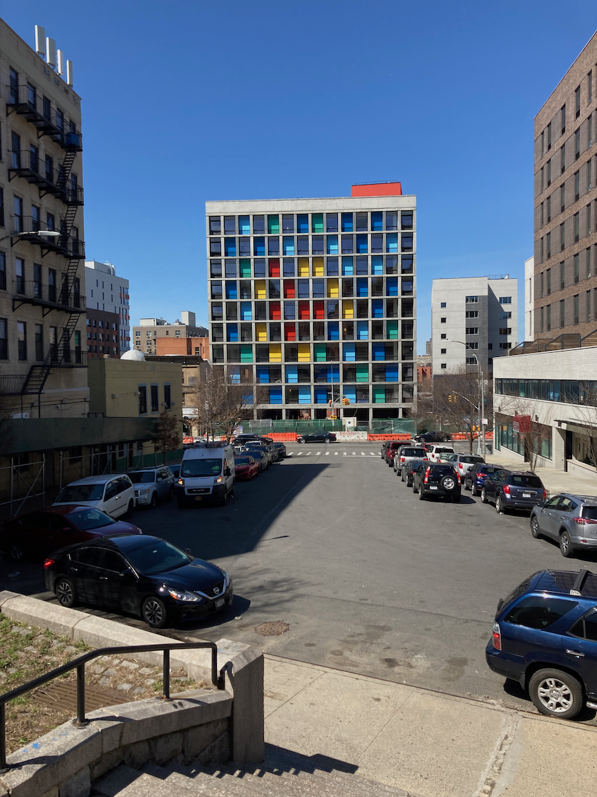
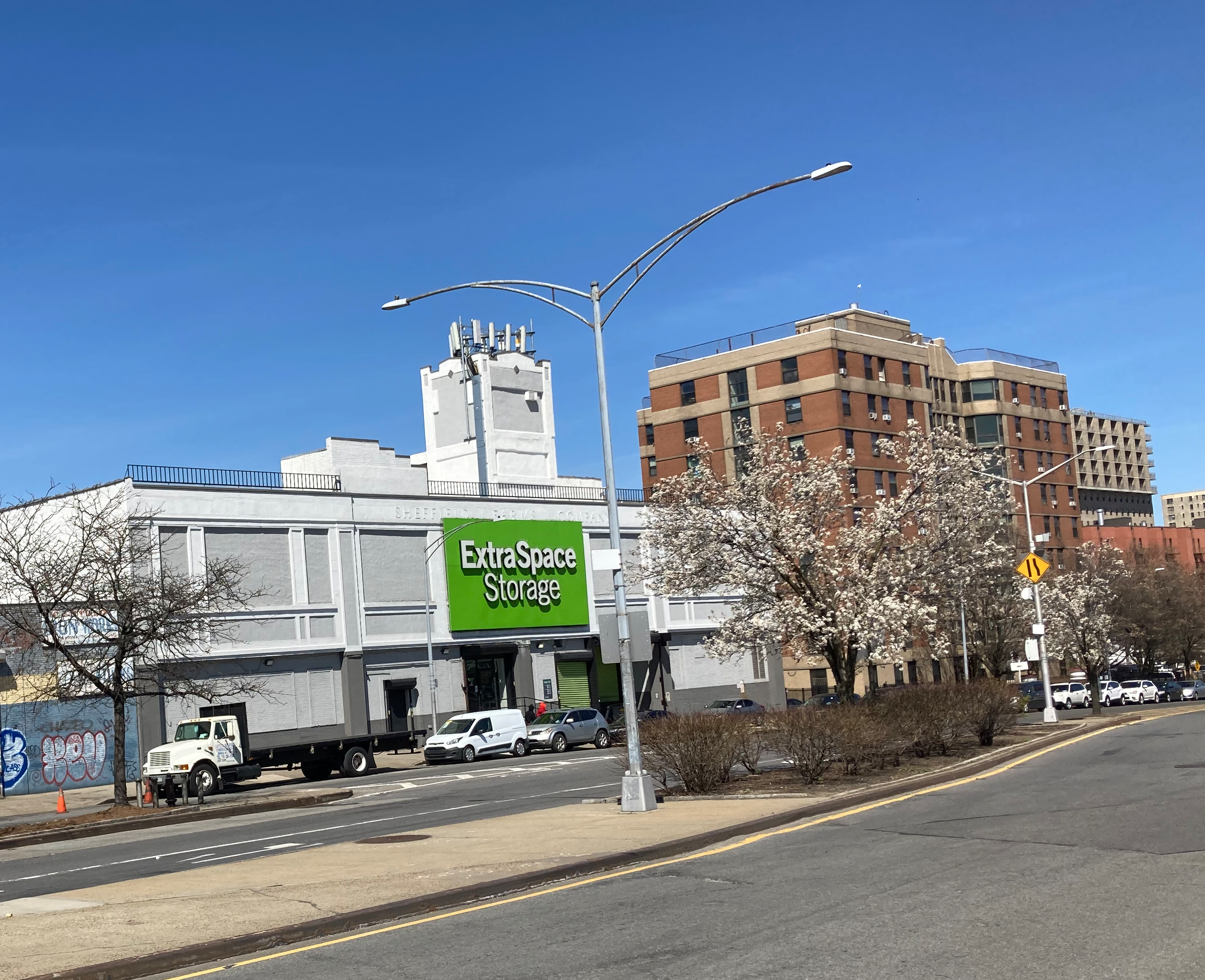
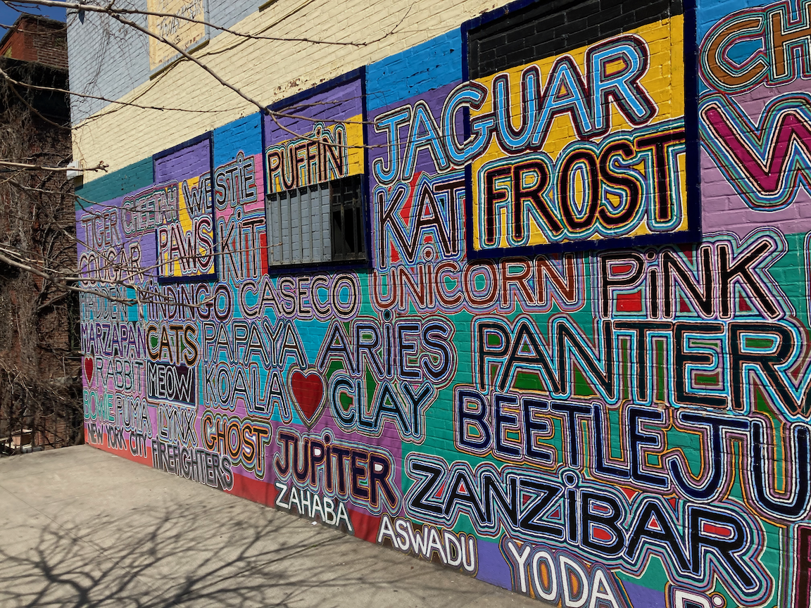
Clockwise from top left: new residential construction on 3 Avenue, former Sheffield Farms dairy on Webster Avenue, mural on East 165 Street, Clay Avenue.
Carroll Place stairs.
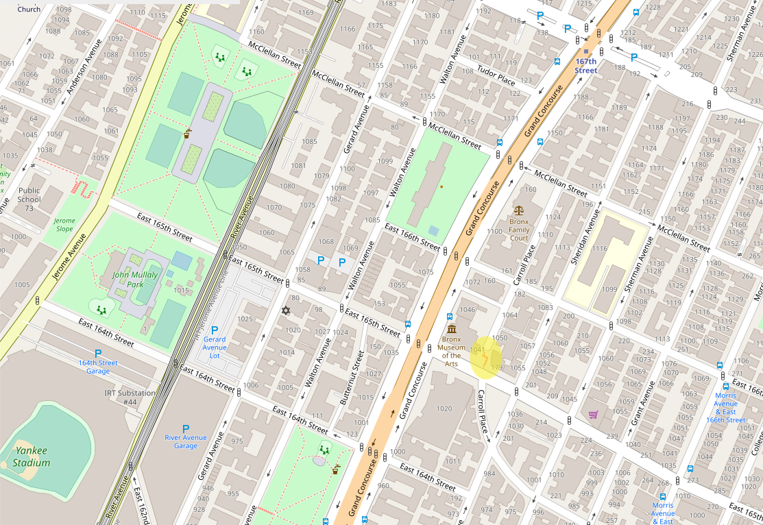
The last stair street of the day was Carroll Place, most of the way uphill to the Grand Concourse, 42 steps up. These stairs are in good condition. A gentleman on his way down the stairs said to me, “Good exercise!” From there I walked north to East 167 Street, then downhill on that busy commercial street to the elevated subway station at River Avenue.
This walk let me do a lot of stair streets in one day, in a part of the Bronx that is poor and full of history and surprises.
Stair recap: 113 steps up, 61 steps down, total 174 steps.
Locations of stair streets (highlighted) on this walk. Maps courtesy Open Street Maps.
