Crossing Coney Island Creek
WHERE: The Stillwell Avenue Bridge and Cropsey Avenue Bridge over Coney Island Creek, Brooklyn
START/FINISH: Stillwell Avenue - Coney Island subway station (D, F, N, Q trains), fully accessible
DISTANCE: 2.3 miles (3.7 kilometers)
Photographs by Michael Cairl except as noted. Map courtesy Apple Maps.

Ah, Coney Island. The beach. Hot dogs. The Cyclone and the Wonder Wheel. The Mermaid Parade. Where for 150 years New Yorkers have gone to frolic by the seaside. Behind all this is a forlorn waterway called Coney Island Creek. A fine closeup of the creek was done by Matt at Two Feet Outdoors in this video.
This walk revived my occasional forays onto the walkable bridges of New York City, and a not-long-for-this-world footbridge over the Shore Parkway.
Setting out from the huge Coney Island subway terminal, my friend Matt (not the kayaker, a different Matt) and I walked north on Stillwell Avenue to the Stillwell Avenue Bridge.

It isn’t much of a bridge, and the view of Coney Island Creek is marred by chain link fencing.

From there we ducked underneath the Shore Parkway and paralleled it for a distance. At this point the parkway is on a. viaduct that crosses over the Coney Island subway yard and past the Coney Island Maintenance Shop, the largest rapid transit maintenance shop in the world. Every part of a. subway car can be overhauled here. From there we walked to the footbridge over the parkway at 27 Avenue. In recent years the New York State Department of Transportation has been replacing the overgrade bridges along the parkway between the Verrazzano-Narrows Bridge and JFK Airport to increase vertical clearances, presumably to allow trucks at a future date. The 27 Avenue footbridge is the only survivor of four of the same design. They were gorgeous. Kevin Walsh has a fine piece about these at https://forgotten-ny.com/2023/04/belt-parkway-bridges/.

The 27 Avenue footbridge. Image courtesy historicbridges.org.
The footbridge will be replaced with one that is accessible and has a higher clearance over the parkway. Crossing the old footbridge, which dates from around 1940, was not easy but was worth doing. The construction sign at the end of the footbridge advises that:
Inspired in its historic design, the steel arch bridge will consist of a new roadway, suspenders, stringers and floor beams. ADA ramps, pedestrian railings, historic light poles and a new drainage system will be installed.
We shall see.


At the end of the footbridge is Calvert Vaux Park. A lot of motorists and cyclists speed past and never stop and look. The park borders Gravesend Bay, where British soldiers landed in August 1776 to fight George Washington’s forces in the Battle of Brooklyn. Froom the NYC Parks website:
What was here before?
The Coney Island Creek that runs through the park was once home to small ports and shipyards, and in the early 20th Century was reputedly a rumrunners’ haven. Today the hulls of nearly two dozen shipwrecks can occasionally be seen in the creek at low tide, including a half-submerged yellow submarine built by shipyard worker Jerry Bianco, Quester I, which capsized upon launch in 1970.
How did this site become a park?
The land for this park was obtained through three land acquisitions. In 1933, the Dreier-Offerman Home for unwed mothers and children closed and donated its property to NYC Parks. In appreciation, Parks originally named it Dreier-Offerman Park. In 1962, NYC Parks simultaneously acquired two additional parcels: a small strip of land and a 72-acre tract consisting of property and landfill debris excavated during the construction of the Verrazzano-Narrows Bridge. This last acquisition, financed by a 1960 New York State bond act, provided the bulk of the park’s property. In 1998, NYC Parks renamed this open space in honor of distinguished designer Calvert Vaux.
In 2000, NYC Parks rebuilt the playground and added a new public restroom, open lawns, a children’s play area, basketball courts, and a children’s spray shower.
In 2007, Calvert Vaux Park was selected for restoration as part of the City’s PlaNYC initiative, in which eight parks citywide were transformed into attractive regional destinations. The master plan proposal included kayak launches, a central lawn, nature trails, an amphitheater, a playground, a recreation center, and a pavilion. One of the park’s central attractions is the Verrazano Sports Complex, a competitive soccer and baseball center.
Who is this park named for?
The park is named after Calvert Vaux (1824-1895), the noted Victorian-era architect and pioneering landscape architect who co-designed Central and Prospect Parks.
Vaux was born in England and moved to America to study with leading architect in the nation, Andrew Jackson Downing (1815-1852). He designed private homes, apartment complexes, public housing, and many public institutions, as among these the American Museum of Natural History and the Metropolitan Museum of Art in the Gothic and Victorian style. His partnership with Frederick Law Olmsted (1822-1903) generated designs for Central Park, Prospect Park, Morningside Park, and Fort Greene Park. Vaux drowned under mysterious circumstances, and his body was found in nearby Gravesend Bay.

Looking inside Calvert Vaux Park.
From there we made our way to the Cropsey Avenue Bridge, a bascule drawbridge built in 1931 and recently rebuilt.

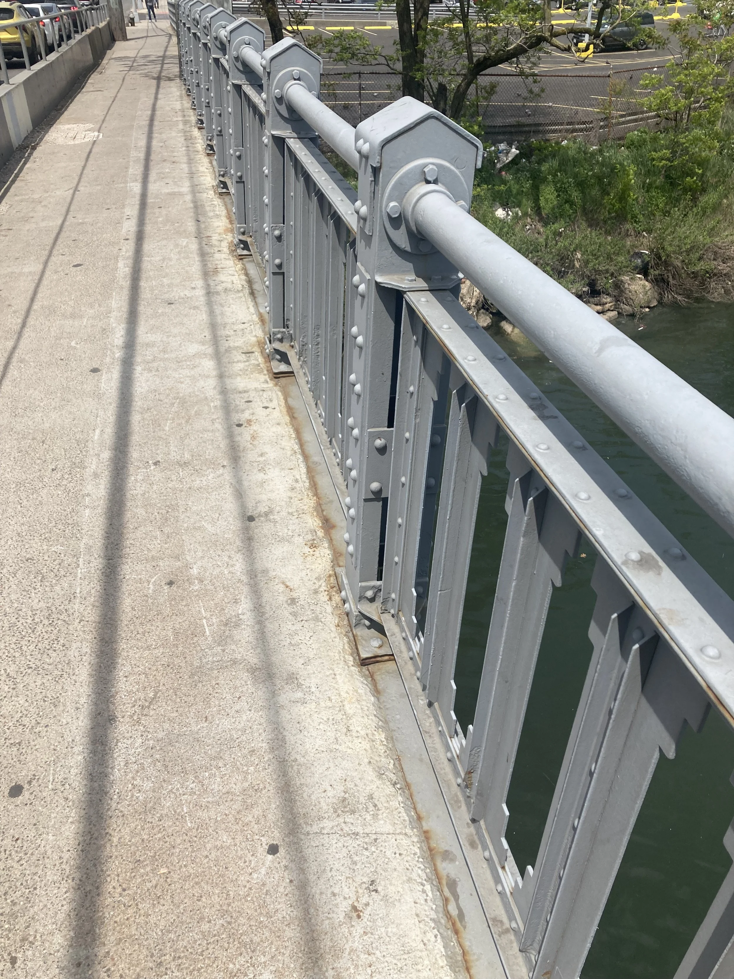
Machine Age handrail on the Cropsey Avenue Bridge.

Looking east along Coney Island Creek from the Cropsey Avenue Bridge.
From there we walked back to the subway and the end of the walk. This was a fine day for a walk that was easy except for the footbridge, and gave us a slow-speed look at Coney Island Creek and the neglected part of Coney Island.